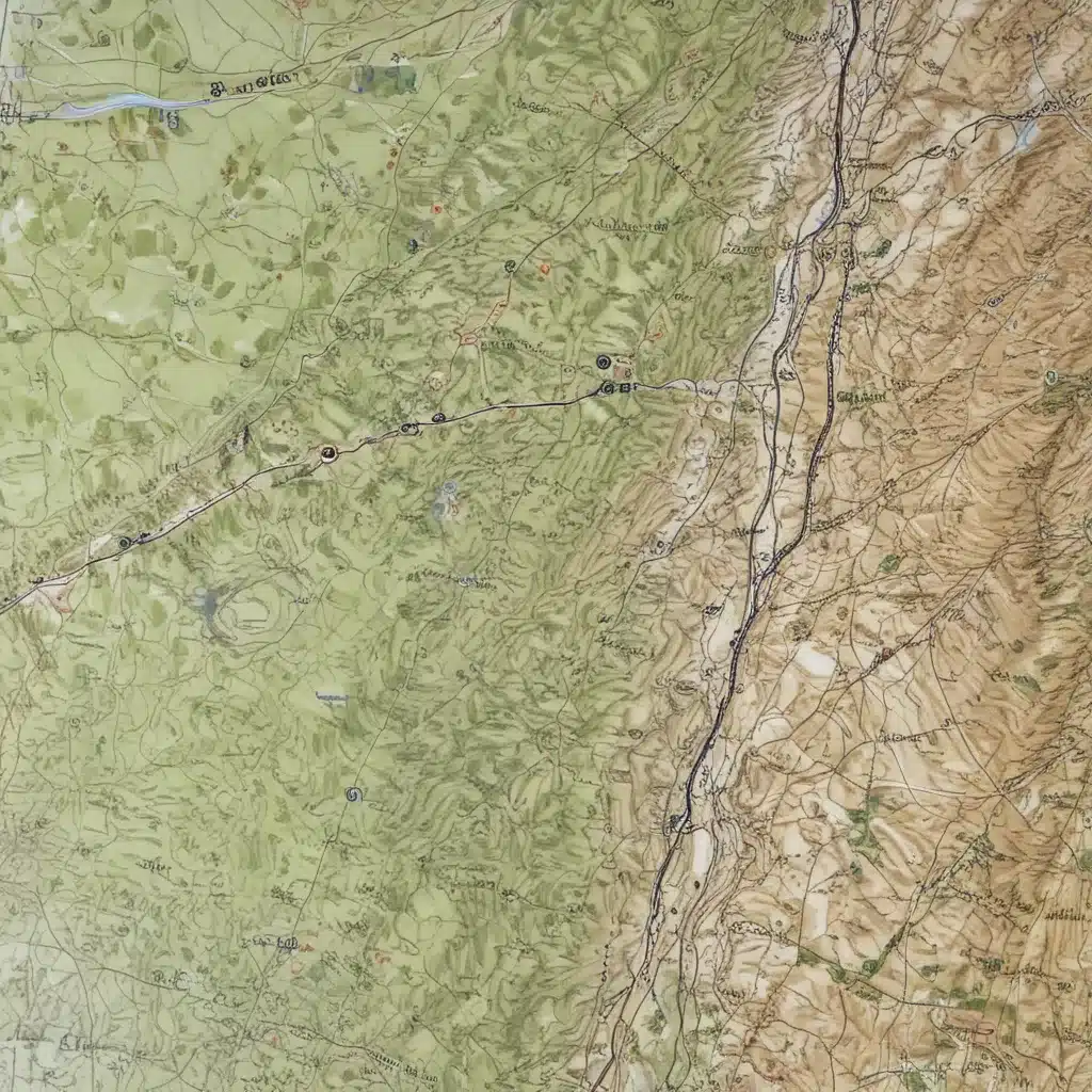
The Rise of the Smartphone Navigator
I remember the days when map and compass were the only options for navigating the rugged terrain of the Scottish Highlands. Back then, mobile phones and GPS satellites were the stuff of science fiction. But times have certainly changed. Nowadays, smartphones have become the go-to tool for many outdoor enthusiasts, promising a seamless and tech-savvy approach to finding our way through the Great Glen.
However, as Chris Townsend wisely points out, these modern navigation tools are just that – tools. They’re not magic, and they come with their own set of limitations. The most important skill, regardless of whether your map is on a screen or printed, is map reading. After all, what good is a smartphone if you can’t interpret the contours and symbols that reveal the true nature of the landscape?
Mastering the Analog Approach
I’ll admit, I was one of those “old-timers” who couldn’t imagine navigating without a trusty paper map and compass. The idea of relying solely on a smartphone seemed downright foolish. But as Chris rightly points out, rejecting the new tools and stubbornly sticking to the old ways is futile. The key is finding a balance, understanding the strengths and weaknesses of both analog and digital navigation.
One of the benefits of a printed map is the ability to spread it out and really visualize the terrain, something that’s harder to do on a small screen. Poring over a physical map, tracing potential routes with my finger, and daydreaming about the adventures that lie ahead – that’s a ritual I’ll never give up. And when the weather takes a turn for the worse, or my smartphone’s battery runs low, that trusty map and compass can be a literal lifesaver.
The Smartphone Advantage
But let’s not dismiss the advantages of using a smartphone for navigation. With the right apps and a good understanding of how to use them, a smartphone can be an incredibly powerful tool. Being able to pinpoint your exact location on a digital map, plan routes, and track your progress can make it much harder to get lost, especially in the often featureless and disorienting landscapes of the Great Glen.
And let’s not forget the sheer convenience factor. Carrying a lightweight, all-in-one device that can do everything from providing weather updates to capturing stunning photos of your adventures – it’s a pretty tempting proposition. Just remember to download your maps for offline use before venturing into the backcountry, as Chris points out, you won’t be able to rely on a phone signal to load them on the fly.
The Rugged Outdoor Smartphone
Of course, the biggest concern with using a smartphone for navigation is the risk of it failing when you need it most. After all, who wants to be stranded in the middle of the Great Glen with a dead battery or a cracked screen? That’s where the latest generation of rugged outdoor smartphones comes into play.
Chris has reviewed several models, including the Land Rover Explore R, Motorola Defy, and Samsung Galaxy XCover Pro. These phones are built to withstand the elements, with features like waterproofing, dustproofing, and drop protection. And with their big batteries and specialized outdoor apps, they can be a reliable companion for even the most demanding adventures in the Scottish Highlands.
The Hybrid Approach
In the end, I’ve come to realize that the key to successful navigation in the Great Glen is a hybrid approach – using both analog and digital tools, and understanding the strengths and limitations of each. I still love poring over my paper maps, but I also rely heavily on my trusty smartphone, armed with the best outdoor navigation apps and a rugged, adventure-proof case.
And you know what? I’ve found that this approach has made me a better navigator overall. By combining the visual and tactile experience of a paper map with the convenience and precision of a smartphone, I’ve developed a deeper understanding of the landscape. I can confidently plan my routes, monitor my progress, and navigate even in the toughest conditions, all while capturing the memories of my adventures along the way.
So, whether you’re a seasoned outdoor enthusiast or just starting to explore the wonders of the Great Glen, remember – the tools may have changed, but the fundamentals of map reading remain as important as ever. With a little practice and an open mind, you too can unlock the secrets of this stunning region, one step at a time.

